


Overview
Department of Remote Sensing and Geoinformatics was established in 1997 with an aim to meet the increasing demand for qualified manpower in this rapidly developing field. Application of Remote Sensing / Geoinformatics techniques using tools such as Geographic Information System (GIS) and Global Positioning System (GPS) in various activities including resources evaluation, environmental monitoring and land use/land cover mapping etc, has grown considerably during the last few decades and RS data products are increasingly being used for plan formulation at all levels. An essential pre-requisite to partaking in these opportunities is the building of various indigenous capacities for the development and utilization of space science and technology.
Department of Remote Sensing is now a FIST-DST Level I & II sponsored department and is also SAP (Special Assistance Programme) supported by UGC.
The Significance of Remote Sensing & Geoinformatics
The world is being scanned constantly by highly sophisticated Earth Resources Satellites like IRS (India), LANDSAT (USA), SPOT (France), ERS (ESA), RADARSAT (Canada), IKONOS and Quickbird etc. Availability of repetitive remote sensing (RS) data in digital and pictorial forms has increased the scope of identifying, mapping, monitoring, classifying and evaluating different forms of renewable and non-renewable earth resources using multi-spectral, multi scanner and multi-temporal RS data products. The benefits of space technology, both direct and indirect, have introduced new dimensions into the study and understanding of Earth’s processes and in improving the quality of life for the people living on it.
Vision
Be a centre of excellence in the field of Geo-spatial Technology education and research to match the needs of ever increasing requirement of human resources in these fields and to cater to the larger interest of the Society and Nation.
Mission
Impart quality education and equip the students with strong foundation that could make them capable of handling challenges of the ever advancing geo-spatial technologies. Maintain state-of-the-art in research and outreach facilities in phase with the premier institutions for sustained improvement in the quality of education and research.
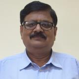
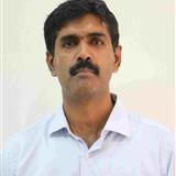
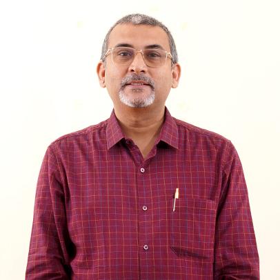
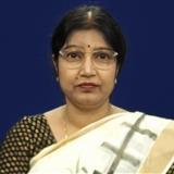
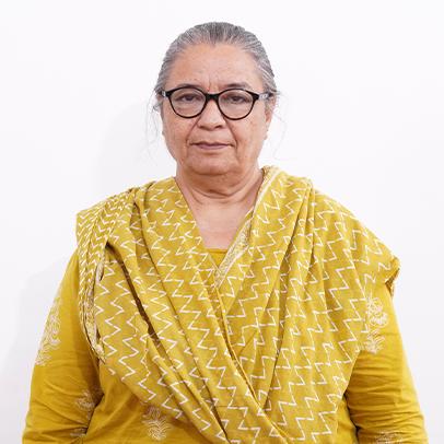

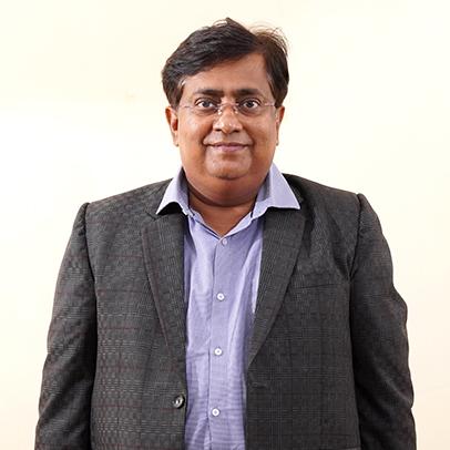
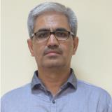

Dr. Subhendu Naskar
Prof. Incharge
-
Administrative
-
9470162183,0651-2275444 Extn. 4496
-
subnaskar@yahoo.co.in